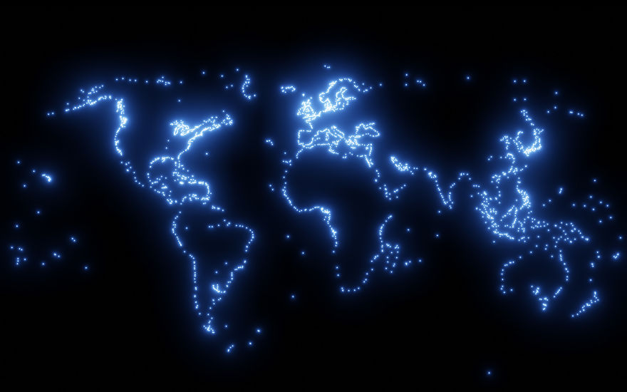
We live in a world that’s more connected than we often realize. Roads, flight paths, shipping routes — these invisible networks shape how we travel, trade, and share ideas across the globe.
Peter Atwood created a series of satellite maps that strip away everything but those connections. The result is a striking view of how humanity has built, expanded, and reshaped its presence on Earth over the past 150 years.
Each map tells a story: where people settled, how cities grew, the routes we carved to link them together. It’s fascinating to zoom in, find where you live, and see the threads that tie your everyday life into this bigger picture.
Cities
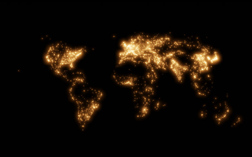 This map shows where people live. You can see the biggest city in the world, Tokyo, shining as one of the brightest parts of the map. Meanwhile, deserts and jungles in Africa, South America, and Australia almost completely disappear.
Roads
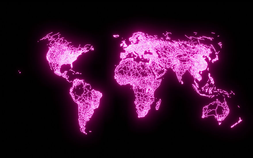 There are more than 60 million kilometers of roads in the world. On this map, you can see how people have built roads across some of the most inhospitable terrain imaginable. Even in places where no one lives, you can find roads stretching across deserts and mountains to connect people on the other side.
Railroads
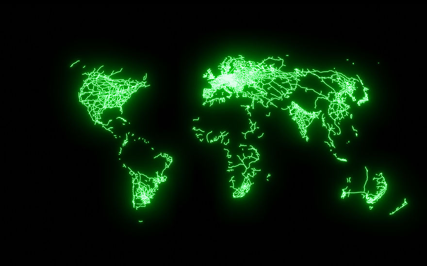 This map shows some of the differences between different parts of the world. Europe shines brightest with its advanced network of high-speed railroad tracks which makes it possible to travel almost anywhere without a car.
Airports
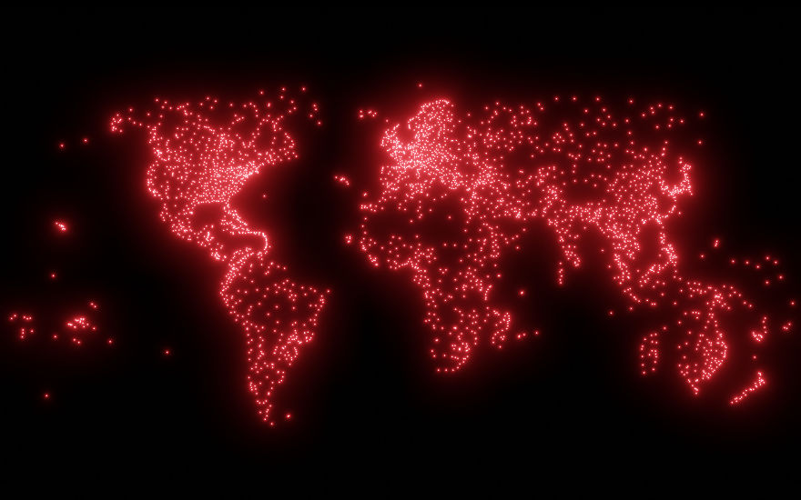 For some of the most isolated parts of the planet, it’s only possible to travel by air. Cities in the Amazon rain forest, the middle of the Australian Outback, and the Canadian North aren’t connected to the rest of the world by roads or rails. Instead, people, food, and supplies have to travel by air.
Ports
 Almost every city in the world is built on either coastline or a river. For thousands of years, the only way to connect different parts of the world was by ship. Even today, most of the food we eat, the clothes we wear, the cars we drive, and the things we buy get brought to us by ship.